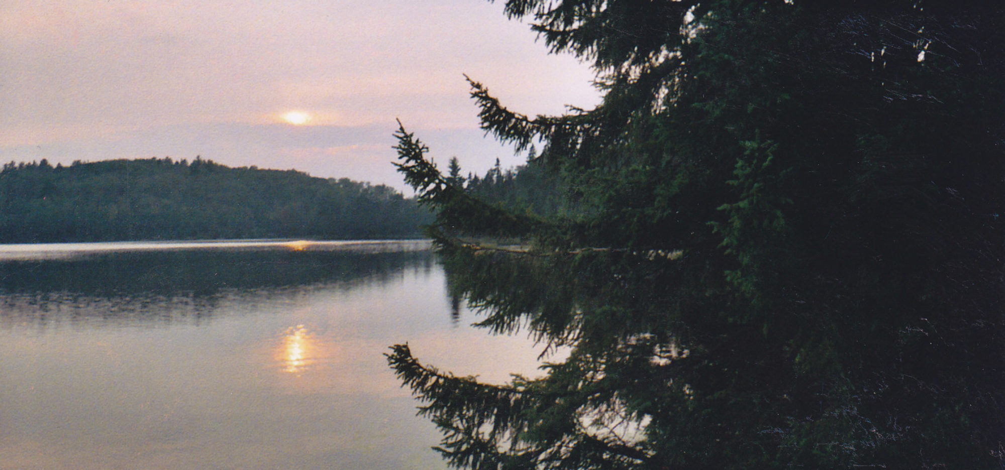
We explored the Rice Creek State Natural Area this past weekend. Wisconsin currently has 687 State Natural Areas. According to the Wisconsin DNR, SNA’s “protect the very best of Wisconsin’s native landscapes” these are typically small, relatively undeveloped areas. Some are within larger State Forests or Parks while others are stand-alone areas, or are owned by conservation groups or private landowners. In addition to preserving these areas for protection of their ecological communities, SNA’s are available to the public for approved scientific research and minimal impact recreation. By keeping all of our travels on the waterways, canoeing was a great low impact option to see this SNA.
Rice Creek SNA extends along both sides of a two mile creek segment and surrounding wetlands between Round Lake and Big Lake in Northern Vilas County. We dropped our canoes off at Round Lake and I parked our one vehicle at the public landing on Big Lake along CH K. I rode my bike the 4.8 miles back to the Round Lake landing. While the “Heart of Vilas” bike trails travels along CH K, by taking Keego Rd the distance is shortened by almost a mile and with less travel on roads. However, East Keego Road (off of Keego Rd.) is an undeveloped Forest Service Road with some steep, rutted, and/or rough areas. For me this was a feature, but others may want to bike the longer, paved route.
We launched our canoes at Round Lake. Round lake is a 173 acre lake that reaches 25 feet in depth. While surrounded by the Northern Highland State Forest, the lake is lightly developed with the public boat landing and three houses along the south-western shore. The lake appears to be shallow along the eastern side where Rice Creek enters the lake, with lilly pads and other emergent plants. We spoke with the one fisherman we saw on the lake who had been fishing for musky, but with no luck that morning. We paddled under a bright blue sky broken up by a few cumulus clouds, and a bit more wind than we had expected, along the high-banked southern side which had a mix of conifer trees. The wind out the west made the paddling a little difficult, but the shore provided a measure of shelter. Looking across the lake to the north, the land was flatter, with marshland and hardwoods rising beyond that.

Round Lake narrows at its western end and becomes a wide and shallow wetland, with lots of emergent vegetation. Some cattails and wild rice break up the stretches of lilly pads. There is, for the most part, a channel that winds through the plants, as the sides of the creek slowly narrow to form a defined waterway.

Upon narrowing, the forest closes in to the banks, and alternates in stretches of Black Spruce, White Cedar, and Tamarack.. In other parts all three of these water-loving trees form stands together. Beavers and otters hid from us in the tall grasses along the shore. Turtles sunned themselves in one of the last warm days of the year, before plopping into the water when we came too close. Ducks flew ahead of us down the creek, circled back and flew away from us again.
Around the half-way point, the creek narrows where two beaver huts extend into the water, but this is the only place where the creek makes anything more than a ripple. The final third of the creek is lined with wild rice. At least the creek was named accurately. Two small lakes mark the end of Rice Creek. The first is larger, although it may just be deeper and more defined, making it look arger. Two bald eagles were perched in branches of a dead tree overlooking the lake. A sharp left turn kept us going down the creek. Narrow channel wound its way through wild rice to the second lake. The creek must get just enough water traffic to keep the four-foot wide path clear through the wild rice. At the second lake, just a enough color smiled back at us to remind us that it was the middle of September and that fall was right around the corner.

Fom there we could see the opening to Big lake, and our first signs of civilization since we had left Round Lake, with cabins and docks along the shore of Big Lake. Big Lake is 827 acres and reaches 61 feet deep. The lake is roughly cross-shaped. Rice Creek enters and leaves Big Lake from the eastern bay. Rice Creek will continue on to join the Manitowish River, which becomes the Flambeau, which joins the Chippewa and then the Mississippi. I had parked our truck at the landing in the southern bay and we paddled across the lake. While paddling across the lake, we saw a last pair of loons, not quite ready to leave for their southern migration.

The western end of Big Lake also has a public landing within the Big Lake Campground of the Northern Highland State Forest. While we didn’t camp there, the Big Lake campground would make a great home base to explore Rice Creek or other areas of Vilas County.
To get to Rice Creek SNA from Southern Wisconsin, take WI 51 North of Wausau. Northwest of Woodruff, turn North on CH H and West on CH K. Take Bear Lake Rd. North. Take the left fork in the road which is Round Lake Rd. The boat landing is at the end of the road. There is a parking lot to the right.

